top of page

Forestry
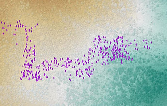
We collect and analyze data to help foresters gain deeper insight into their landscapes. As earth scientists, we understand that the most valuable work happens in the forest itself. Our goal is to support foresters by complementing their field time with precise, actionable data—making every hour in the field more impactful. Whether through individual tree level scanning or large landscape scale analysis using airborne LiDAR and satellite imagery, we’re here to help.


bottom of page